Powerful 3D Tools
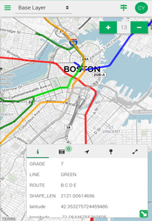
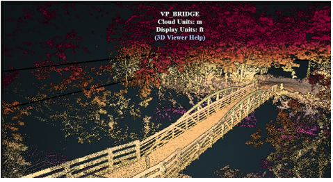
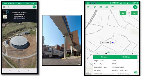
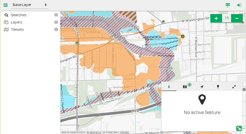
Point cloud processing and visualization tools for Aerial LiDAR, terrestrial and mobile scanners, and drone photogrammetry data sets. 3D Publisher and ZTools assist in finding public 3d data, preparing the data for CAD workflows, creating shareable viewers and overall data management. Close your 3D data gap with GeoSync GO 3D Tools and capture the full value of your 3D investment.


